Season 2019

The goals for this season have been:

1) To carry out selected archaeological surveys in the South-West Saqqara desert in order to document some possible isolated archaeological sites or remains other than Kom el-Khamaseen. These are the limits and the coordinates of the concession:

  • NE CORNER: 29º 52′ 30″ N 31º 12′ 10″ E
  • SE CORNER: 29º 50′ 30″ N 31º 12″ 10″ E
  • SO CORNER: 29º 50′ 30″ N 31º 08′ 30″ E
  • NO CORNER: 29º 52′ 30″ N 31º 08′ 30″ E
Area of the concession

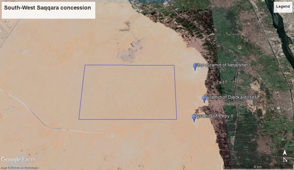
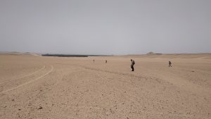
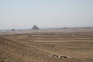
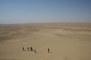
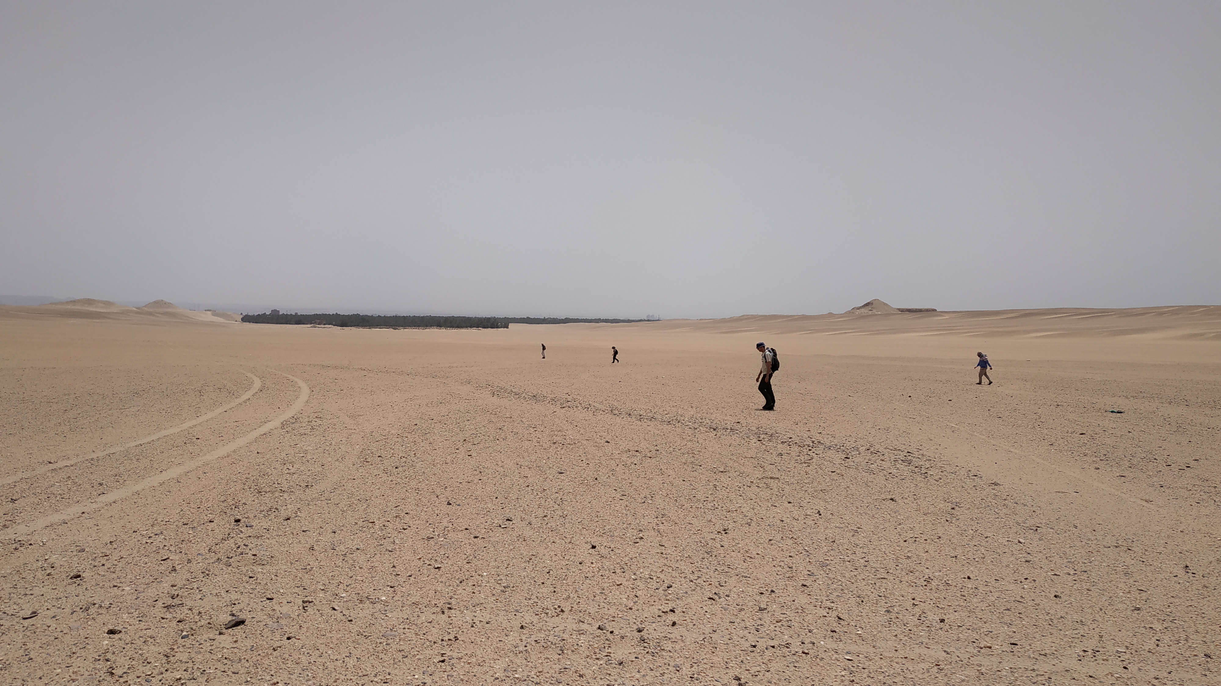
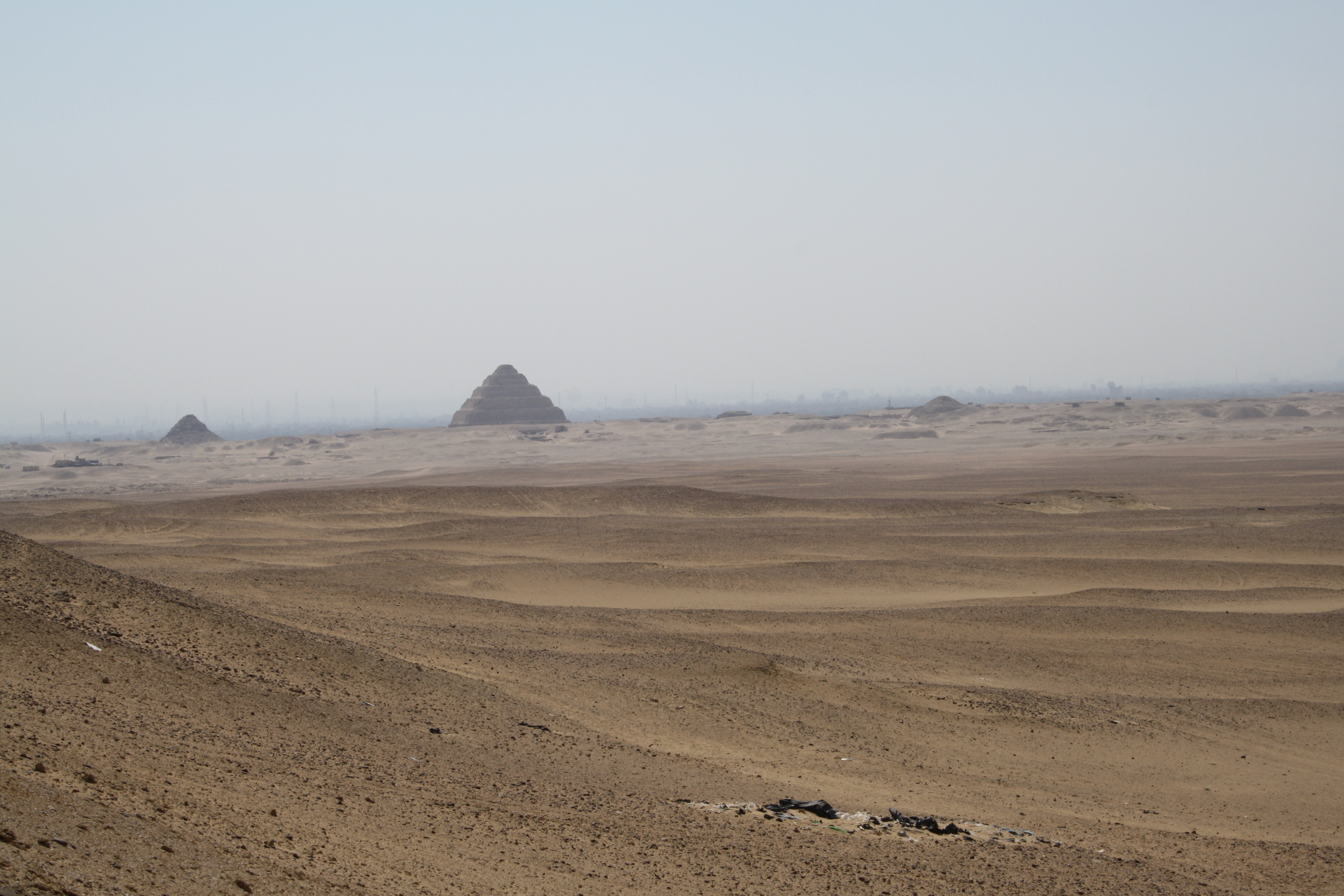
We carried out a systematic survey of the whole area following two complementary methods: in the easternmost part of the concession, that is to say, that closest to the Saqqara monuments, a thorough foot tracking of the terrain has been made, while in the central and western part of the concession, farthest from cultivation and therefore less susceptible to contain archaeological remains, we have proceeded more selectively, according to what can be seen from Google Earth photographs and according to the field experience of the Egyptian co-director of the Mission, Dr Mohammed Youssef. In this way, about twenty sites fo different potency, chronology and interest have been recorded, some of which will be excavated in the 2020 Season.

2) To precisely place on the cartography the site of Kom el-Khamaseen and the other archaeological sites documented during the surveys, and to start the topographic surveying of the site and the adjacent area in order to create a complete topographical map of the region included in the concession.

Sponsors and collaborators